God’s Thumb Oregon : Oregon Coast Hike
Quick Overview
Activity: Hike
Location: Lincoln City, Oregon
Difficulty: Moderate
Distance : 3.1-4.3 mi. depending on starting location
God’s Thumb Oregon Overview
The hike to God’s Thumb in Lincoln City, Oregon is a scenic coastal trail that leads to a uniquely shaped basalt headland overlooking the Pacific Ocean. This moderate hike winds through tall trees and meadows before reaching the iconic thumb-shaped cliff. While the trail is unofficial and gets a bit slippery and steep at the end, the stunning panoramic views make it a rewarding hike on the Oregon Coast.

Keep the Trail Open – Do your Part
A portion of the trail to God’s Thumb is on private property. Access can be revoked at any time. Please do your part to keep it open by being respectful and practicing Leave no Trace principles.
Getting There & Trailhead Info

- The Knoll Trail: To get to God’s Thumb you’ll start at one of the trailheads for The Knoll Open Space. You’ll follow the Knoll Trail loop in a clockwise direction for .67 – 1.25 miles (depending on which trailhead you start from), before breaking off on an unmaintained trail that takes you to God’s Thumb.
- Recommended start point: The official Knoll Trailhead parking is located at the end of NE Devil’s Lake Blvd in Lincoln City. It’s a small cul‑de‑sac with the most reliable parking spots.
- Alternate parking/shorter hike: Limited street parking may be available on NE Sal‑de‑la‑Sea Drive, but spaces fill quickly. This location is slightly closer to God’s Thumb than the parking/trailhead on NE Devil’s lake, and shaves about a mile off the round trip hike . If you park here, remember that this is a residential area–keep your noise to a minimum, and park only in the designated area marked with signs.
- Do not use: The old access from Logan Road is on private property and no longer allowed.
Map
Use the map below to get directions from your location to one of the The Knoll trailheads/parking options listed above.
We found an open parking spot on the street on NE Sal-de-la-Sea Drive. If you start at this trailhead the hike to God’s Thumb is a bit shorter (about 3.1 miles out and back), which my kids appreciated.

Trail Stats at a Glance
- Distance: ~3.1 – 4.3 mi out‑and‑back depending on starting location
- Elevation Gain: 500-1000 ft. depending on starting location
- Difficulty: Moderate, with a steep and exposed final section
- Time Needed: 2–3 hours round trip, depending on pace and stops
Trail Map
Hiking to The Thumb
1. Starting on The Knoll Trail: The hike begins on a shaded forest path, the Knoll Trail. There is a small break off path (marked in red on the trail map above) that leads to the Knoll. The Knoll is an open grassy area which offers views of Lincoln City, Devils Lake, and the coastline.

Here’s a view of the The Knoll Trailhead from NE Sal‑de‑la‑Sea Drive:

2. Junction: On the main Knoll Trail, you’ll be surrounded by towering trees, eventually hitting a junction; you can head right to continue on the Knoll Loop, or take a left towards the Thumb. After taking a left at this junction, the trail is no longer a USFS maintained trail.


3. The Overlook/High Meadow: After taking a left (northwest) at The Knoll junction, you’ll hike about ¾ mile more before you reach the overlook–a grassy meadow where you’ll get stunning views of Lincoln City, the Pacific Ocean, and God’s Thumb. Some people stop here, as the final stretch is also the most dangerous.


4. The Ridge: From the overlook, the trail descends steeply towards the narrow ridge.

With loose gravel/dirt and a steep decline, this part was slick and several of my kids slipped.

Once you reach the sharp ridge you’ll notice a fairly steep drop off on the right side. The path is eroding due to frequent traffic–proceed with caution.


Here’s a view of the ridge from God’s Thumb:

5. The Summit: After crossing the ridge the path ascends sharply to the top.

This path was eroding quite noticeably with deep grooves cut several feet into the earth. With very loose gravel/dirt and a steep incline, the final stretch was a bit difficult.

6. On God’s Thumb if the day is clear, you’ll see miles and miles of Lincoln City’s beaches to the south, Cascade Head to the north, and breathtaking ocean views as far as the eye can see to the west.


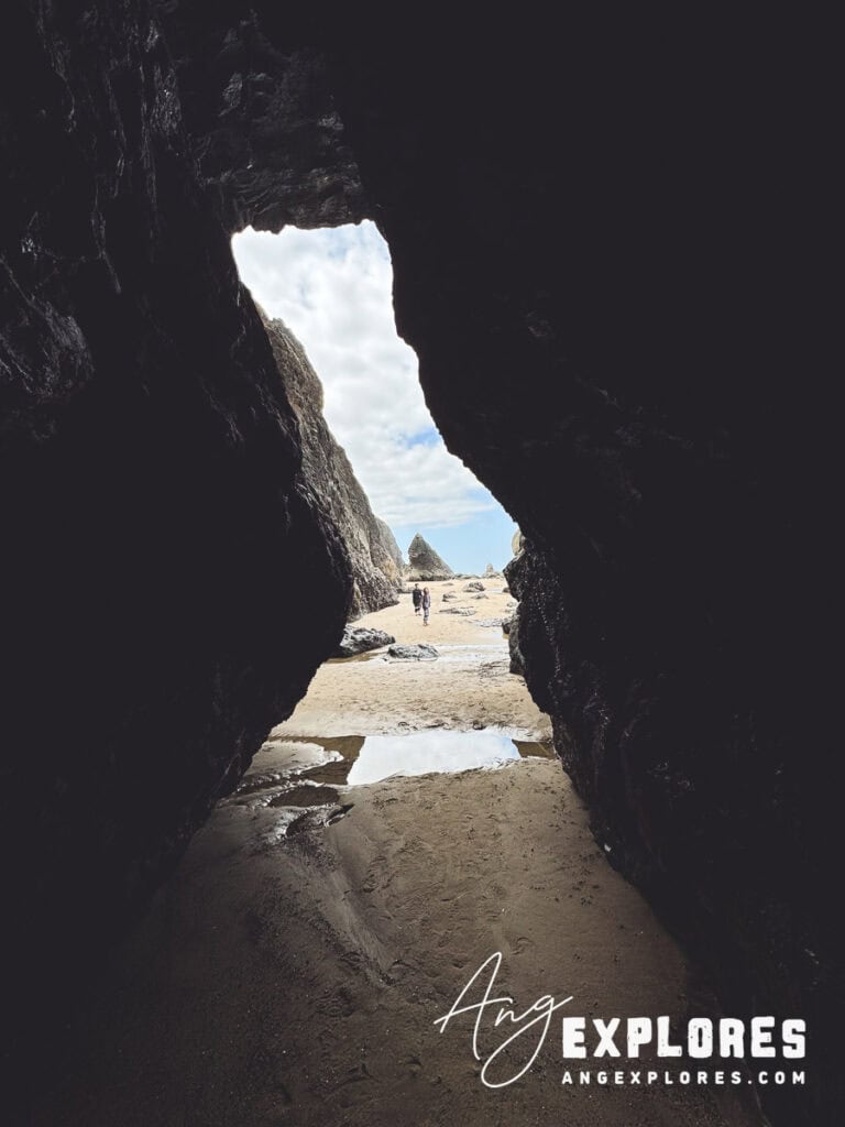
Immediately below you to the south you’ll notice the hidden beach at Road’s End. If you’re enjoying the view from above, consider exploring Road’s End at low tide.

Spotted on the Hike to God’s Thumb
Here are a few plants and animals we spotted on the hike to God’s Thumb in early June:


Safety & Trail Concerns
- After breaking off from the Knoll Trail, the path to the Thumb is unofficial and unmaintained. According to the site published by Lincoln City and the neighborhood residents, taking this trail is “at your own risk.”

- The final stretch of the hike across the ridge and ascending to the summit is dangerous, with steep drop offs and erosion on the path. If you’re unsure or don’t want to risk it, consider stopping at the overlook/high meadow which also offers breathtaking views.

- There were quite a few exposed tree roots and a few fallen trees along the way. Watch your step!
- Erosion is unfortunately taking its toll on God’s Thumb. Walk carefully and do your part to minimize further erosion.

- Though it was mostly dry when we went, mud is apparently quite common, especially after rain.
Final Thoughts
God’s Thumb hike is one of the most striking day hikes on the Oregon Coast with lush forest, peaceful meadows, and a dramatic headland jutting into the ocean. It’s definitely one of my favorite Oregon hikes.Though the ascent to the Thumb is not official and poses risks, most hikers find the rewarding views from the top well worth it—if done with caution. Remember to tread lightly, stay on path, and respect both nature and residents.
Pin for Later